|
The Interstate 10 in Houston, abbreviated "i-10 Houston", is one of the
major interstate highway routes that travels across the Greater Metro Houston
area ... the i-10 is the main interstate highway that travels across Greater
Houston and Harris County in a East-West direction.
Traveling West-bound on the i-10 away from Houston; the i-10 is the
main route to San Antonio, and points further west.
Traveling East-bound on the i-10 away from Houston; the i-10 is the main route
to Louisiana, Baton Rogue, and New Orleans, and points further east.
In the Houston area, a section of the
i-10 is also known as the Katy
Freeway, and another section is known as the East Freeway.
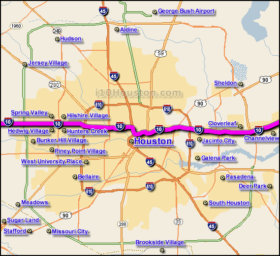
The map above shows the
i-10 in Greater Houston (highlighted in pink) and
where the i-10 travels through the Greater Metro Houston area... the map
below shows approx. exit and off-ramp locations along the
i-10 in the Greater Houston region...
 |